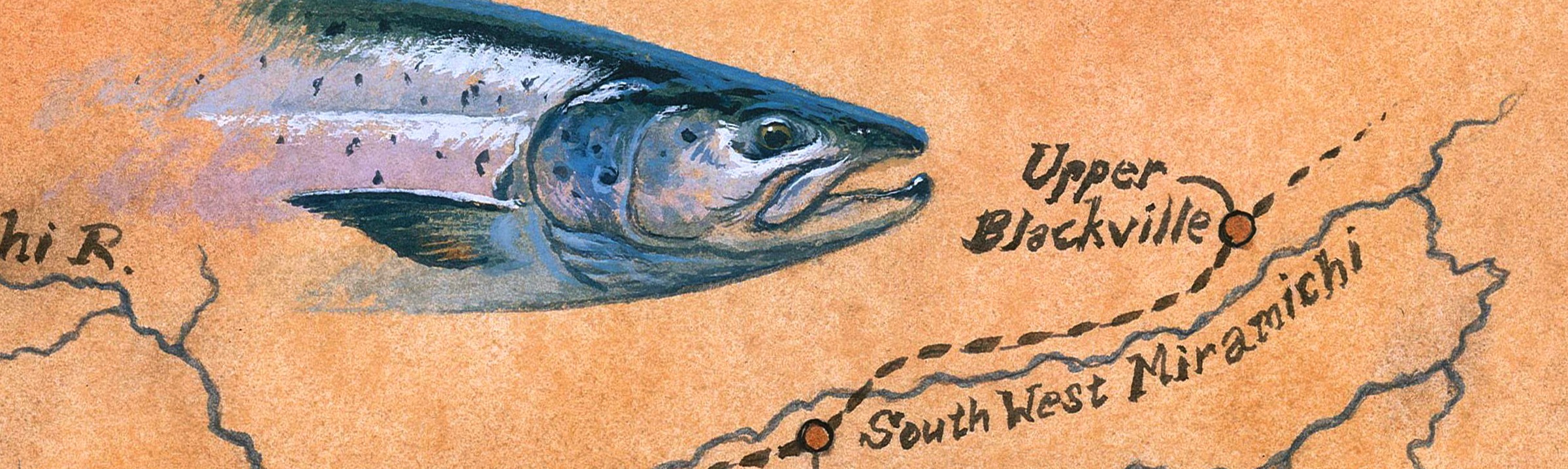
A Last 2017 Trip to the Miramichi and Trap Numbers Wrap-Up
Closing up camp for the season at Porter Brook, courtesy Porter Brook Lodge and Ted Silver
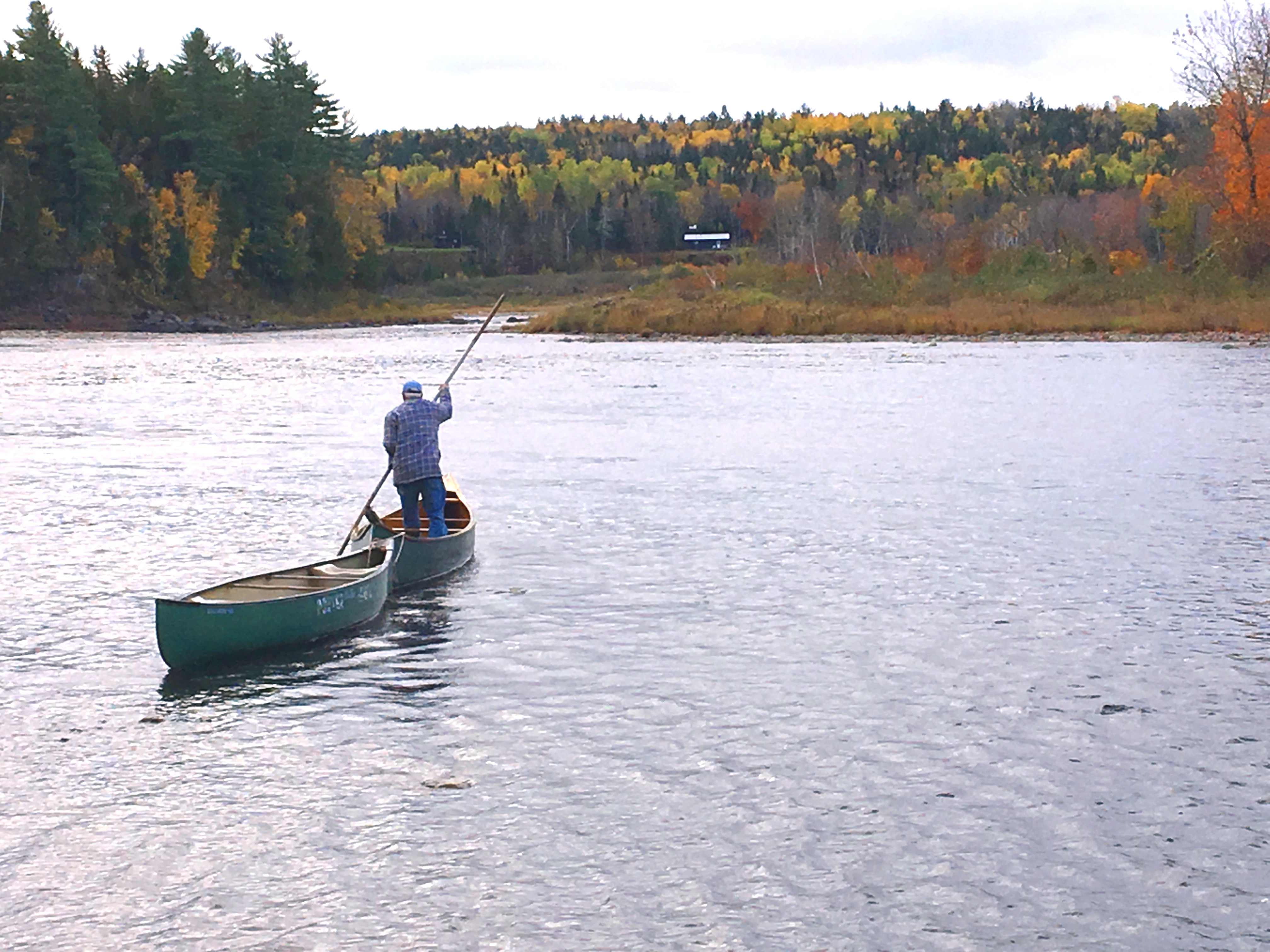
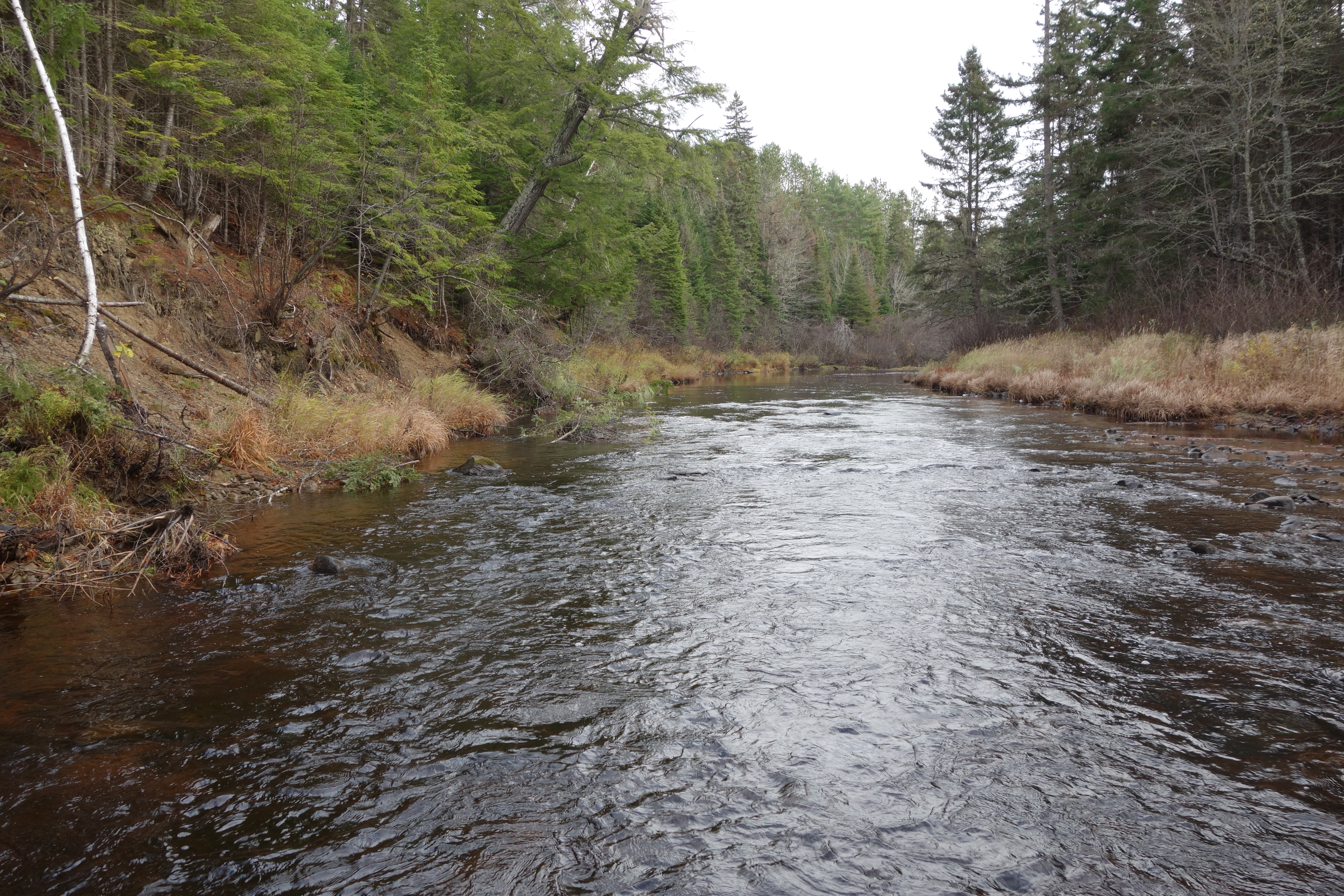
Having had no chance to fish the upper Cains this year, with some good rain forecast, and a little exploring in mind, I headed back up to the Mahoney Brook camp on the Cains for a few days of enjoying the last phase of the 2017 salmon run.
I had three goals for this trip: first I wanted to try and observe salmon spawning somewhere near the camp, second I wanted to walk to the different pools that we fish and enter all of the GPS coordinates – just for fun – and last I wanted to try and find Portage Rock. This large piece of fallen ledge of the north side of the the Cains River told the Indian travelers that they had arrived at the place on the Cains where they began the 5.8 mile hike south to the Gasperaux River, and thus on down to the Saint John and the Fundy shore. I referred to this portage route and showed Ganong’s map of its location on page 111 of Closing the Season.
Salmon Spawning on the Cains
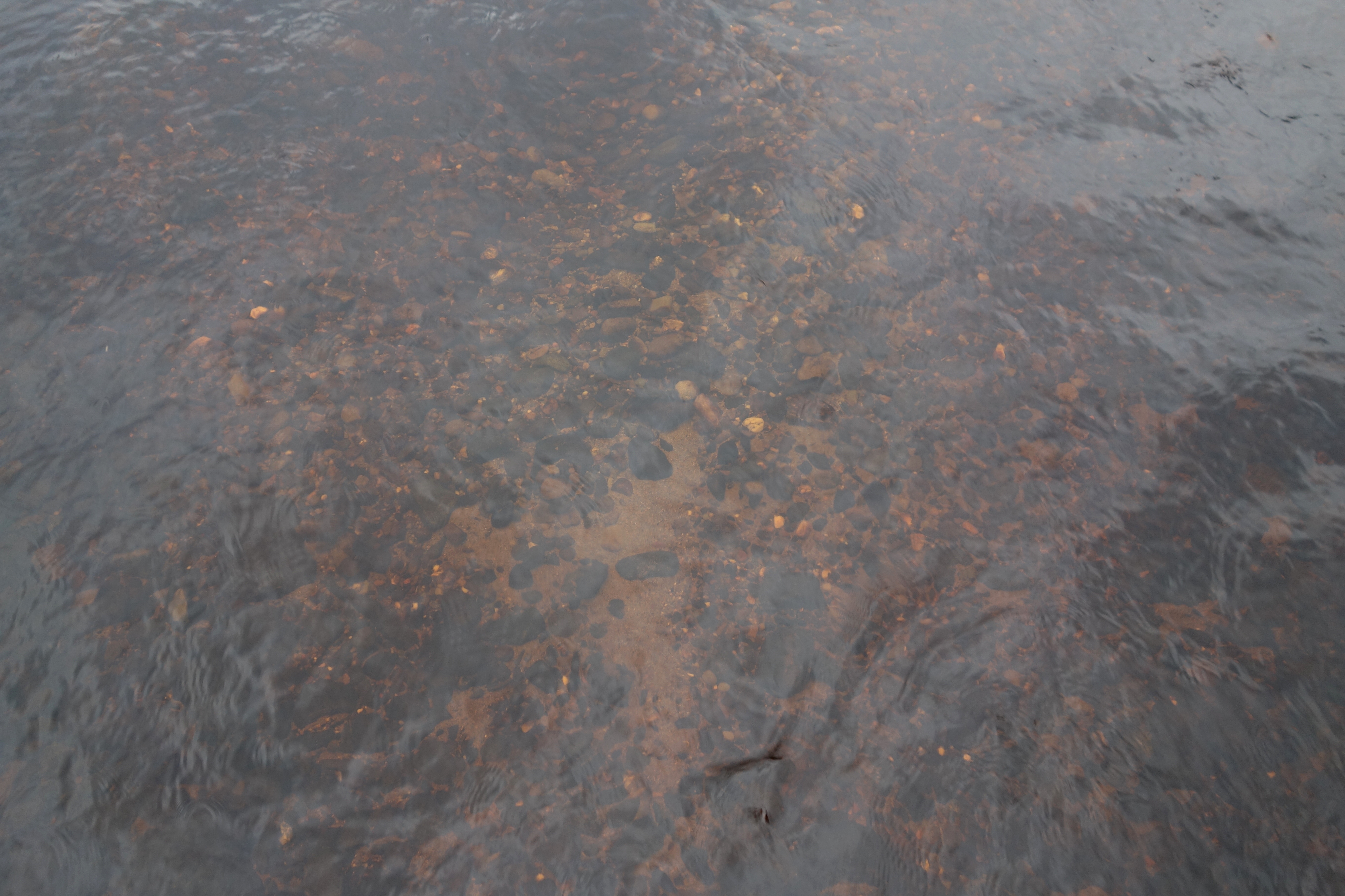
Salmon redd Cains River November 3, 2017
I arrived in camp between some of the recent rain storms, and the river level had backed down to what I would consider a moderately low fishing height. This meant that it was relatively easy for me to walk and wade along the edges of the river and cover some ground. The autumn leaves were gone, and their colors replaced by the equal but somber beauty of the bare hardwoods interspersed with dark patches of evergreen. The day was battleship gray, with a light breeze and occasional drizzle. It was a perfect day for what I had in mind. Fish love low light. Instinctively they must know that they are somewhat protected from land and avian predators by their inability to see well into the water without direct sunlight. About a half mile below camp, in what is really a gravel bar tail-out of the Slow Pool – referenced in Closing the Season, I came upon what I felt were three recent redds made more or less in a row. At each redd there was fresh sand among the rocks in the newly made gravel mounds, and a shallow depression located just upstream. Mark Hambrook of the MSA commented from the photo that they looked like redds to him, so I’ll call that good enough!
Area of Cains where I saw spawning activity November 3.
Another couple of hundred yards downstream, and in sight of the camp at Six Mile Brook, I saw a salmon break the surface. It was not so much a roll as a sort of darting across the surface, and much of the salmon’s back was out of the water. It got my immediate attention, and then I saw it again followed by a wake pushing hard upstream that died out within a few yards. I was about a 150 feet away, and so I moved downstream to get closer and sat on the bank to watch for a while. The fish I’d seen was about 50 feet off the bank. In the ten minutes or so that I sat there I saw fish move several times in the general area of the first break. In all cases there would be an upstream wake, some of them continuing for 25 or 30 feet, and then they would veer off a little and die down. I saw a half dozen or so of these events, and they all seemed to start from the same basic area, though I did see one lone wake another 100 feet or so out in the middle of the stream. None of this water was much more than knee deep. I had seen this activity before during the extended season on the Cains back in 2008, and I assume again that I was witnessing salmon in some aspect of the spawning ritual. Nathan Wilbur of the ASF and himself a fishery scientist, tells me that sometimes, previous to actual spawning, the fish will seem to practice the act of digging out for a redd.
Mark Hambrook also pointed out that most of the spawning happens at night, though it is possible for it to continue into the day, especially on a dark day like this was. Anyway, it sure got me excited. That section of the Cains, for that matter almost all of the Cains in early November, is a remote and wild place. It was a great experience just to be in this idyllic place, and know I was near wild Atlantic salmon that were spawning.
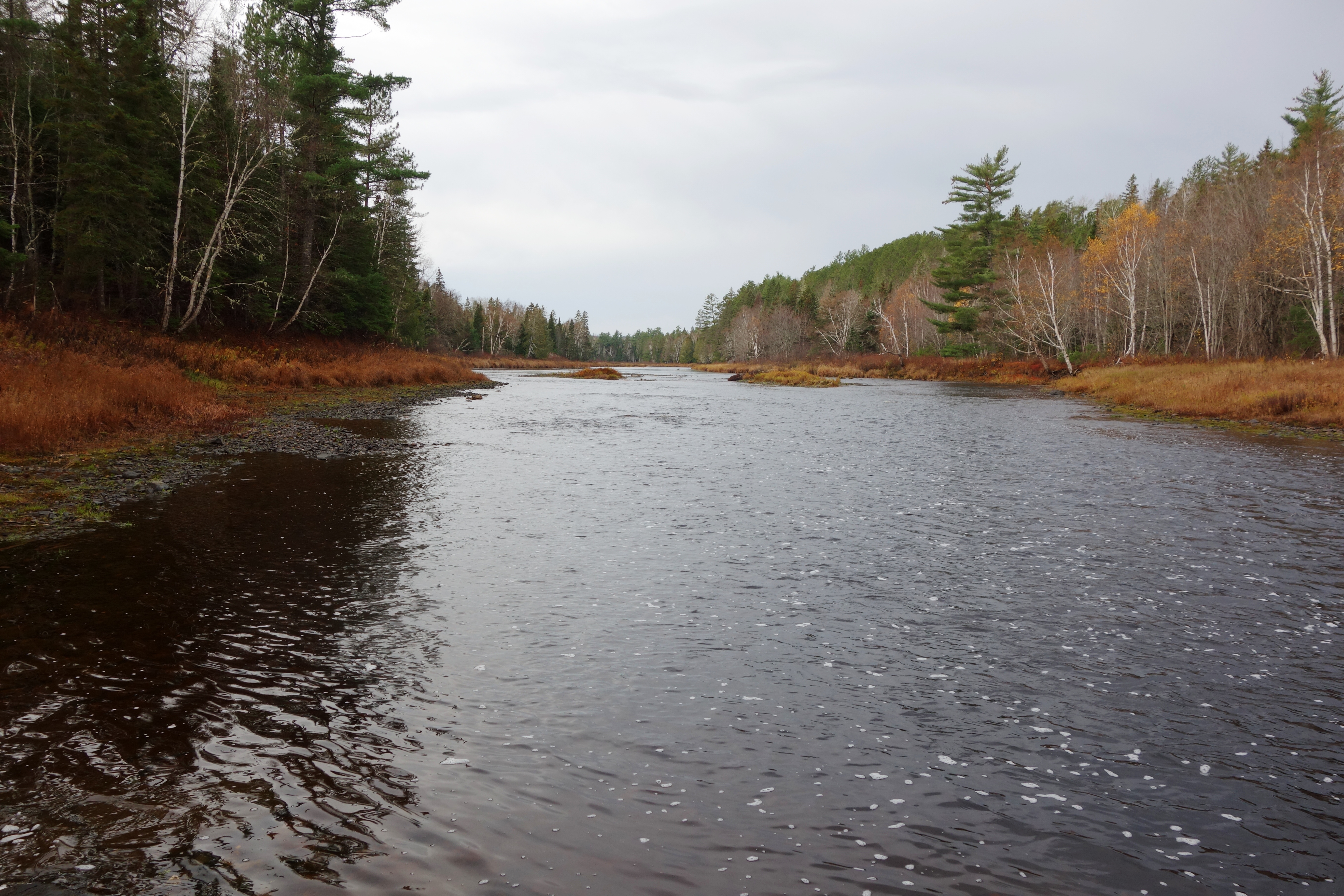
A little later I did walk a couple of hundred yards up into Six Mile Brook since I know salmon reportedly spawn there. The water was quite low and I didn’t see anything fishy, but fish may have been up there the week before or possibly even a couple days later since we had significant rain and another good raise.
Looking up Six Mile Brook near junction with Cains River.
The Timing of the Trap Counts
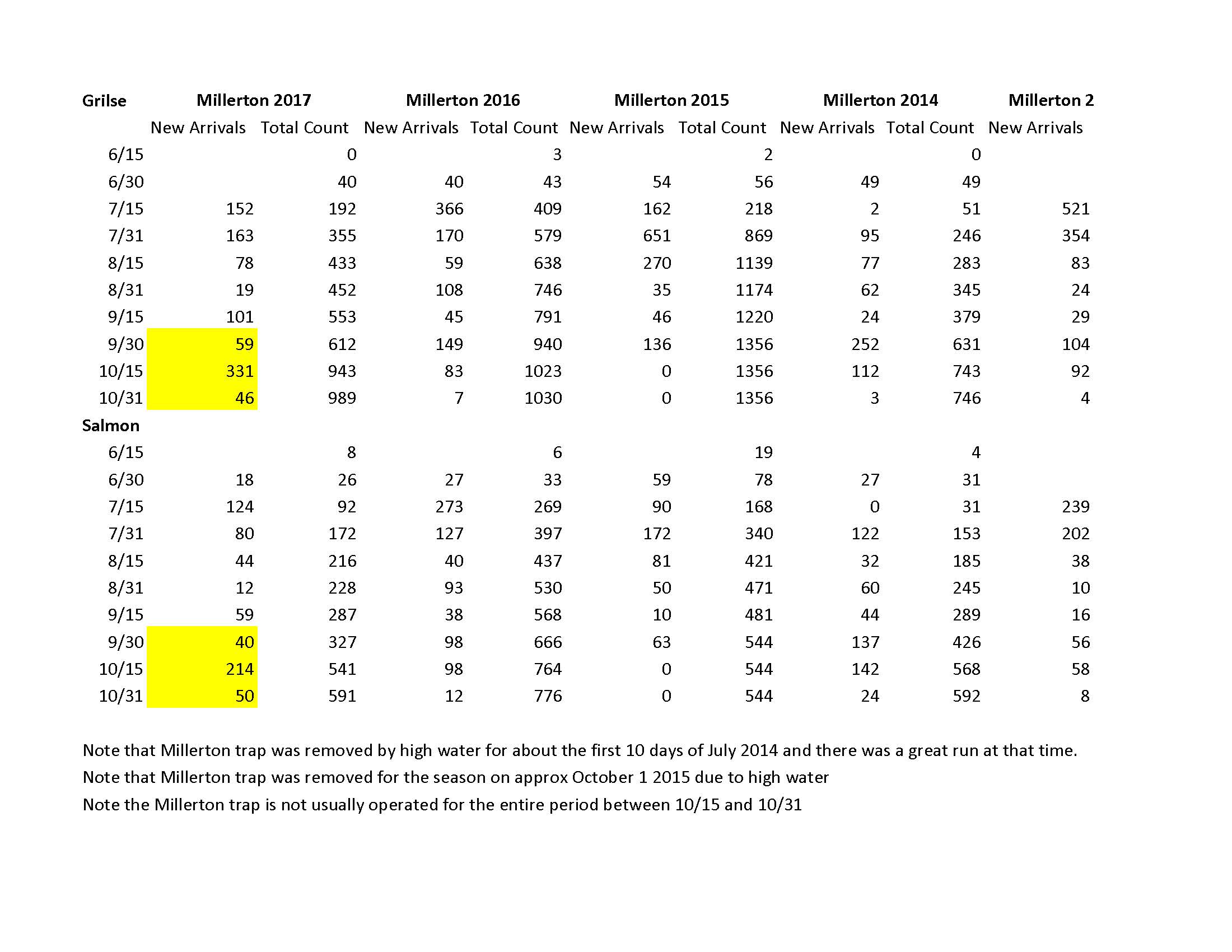
As I said in my last blog, 2017 has to go down as a very poor year for Miramichi salmon fishing. We did, though, have a fair spurt at the end, and the big news of the season is that the late run of fish continued and ended up to be quite extraordinary by the standards of recent years. Here is a LINK to the government website where these numbers are coming from, and I’ve also included below two jpeg files of an excel spread sheet that illustrates how the run has shaped up by two week periods going back over the last fourteen years.
Many of you will recall that up until quite recently it appeared that the Miramichi had gone from having an autumn run that the late, great Canadian salmon conservationist Percy Nobbs said was nearly impossible to exaggerate, to being a summer river. I must admit to never being able to ever understand why these salmon run into a river during the warmest part of the summer, that more years than not has temperatures too high for either good fishing or the health of the fish themselves. Certainly we saw that in 2010 with disastrous consequences as thousands of fish washed back down the river dead from the lack of oxygen in the over-warm waters. Had these fish come in any time after the first of August they would have all lived and spawned. It was a heart-wrenching scene to behold.
This year we had essentially no rain after early June, and water became progressively lower and clearer, quite unlike the tannic Miramichi system that we are used to. If you look at the spread sheet the Millerton grilse numbers through the end of July – the summer run – were approximately half of 2016’s, and just 25 to 30% of the 2004 through 2013 period! It was easy to believe that the run had collapsed! One of my friends who fishes the Gaspe Rivers a lot told me that folks in the know about salmon were talking about the Miramichi River in “past tense” terms.
Around Labor Day we had the first real rain in a long time and the fish responded. The Millerton trap numbers for grilse from 9/1 to 9/15 were easily the best seen during that period since the 2004 – 2008 average, and they were comparable to that. It was the same for salmon.
Now it gets good. The fall run, or as it is called in the U.K. the “back end” had 363 salmon from 9/1 to 10/31 at Millerton. Multiply that times 20 to reflect the average 5% efficiency of the Millerton trap at catching salmon, and you have 7,260 salmon entering the river during this period alone. This is better than any comparable period dating back to 2003. A good portion of these fish arrived at Millerton at the very end of the open season and after, and most salmon fisherman never had an opportunity to fish for them. Doubtless many of these fish were destined for the Cains River, and there was simply inadequate water to fish most of the Cains River’s fine fall pools. In the final analysis 61% of the Main Southwest Miramichi salmon run in 2017 came after September 1. Those were the kind of percentages that Nobbs was talking about 70 years ago.
But when you look at all this, is it the time of the season that matters, or is it simply whenever it rains? It sure appears to me that to a very large degree it is the latter. More than any year I can remember the timing of the run throughout all of 2017 was very transparently dependent on having a fair raise of water. We had none in the summer. Usually we have a few good storms in the summer that flush out the system and move in a bunch of fish. That did not happen in 2017, and fish just trickled in. Finally it got cool in the fall and we began to have some rain. In came the fish. Most of the middle two weeks of September were dry, and with terribly low water. The run cooled off to nothing. At the end of September we had a good rain and the fish came rushing in.
How About the NW Miramichi?
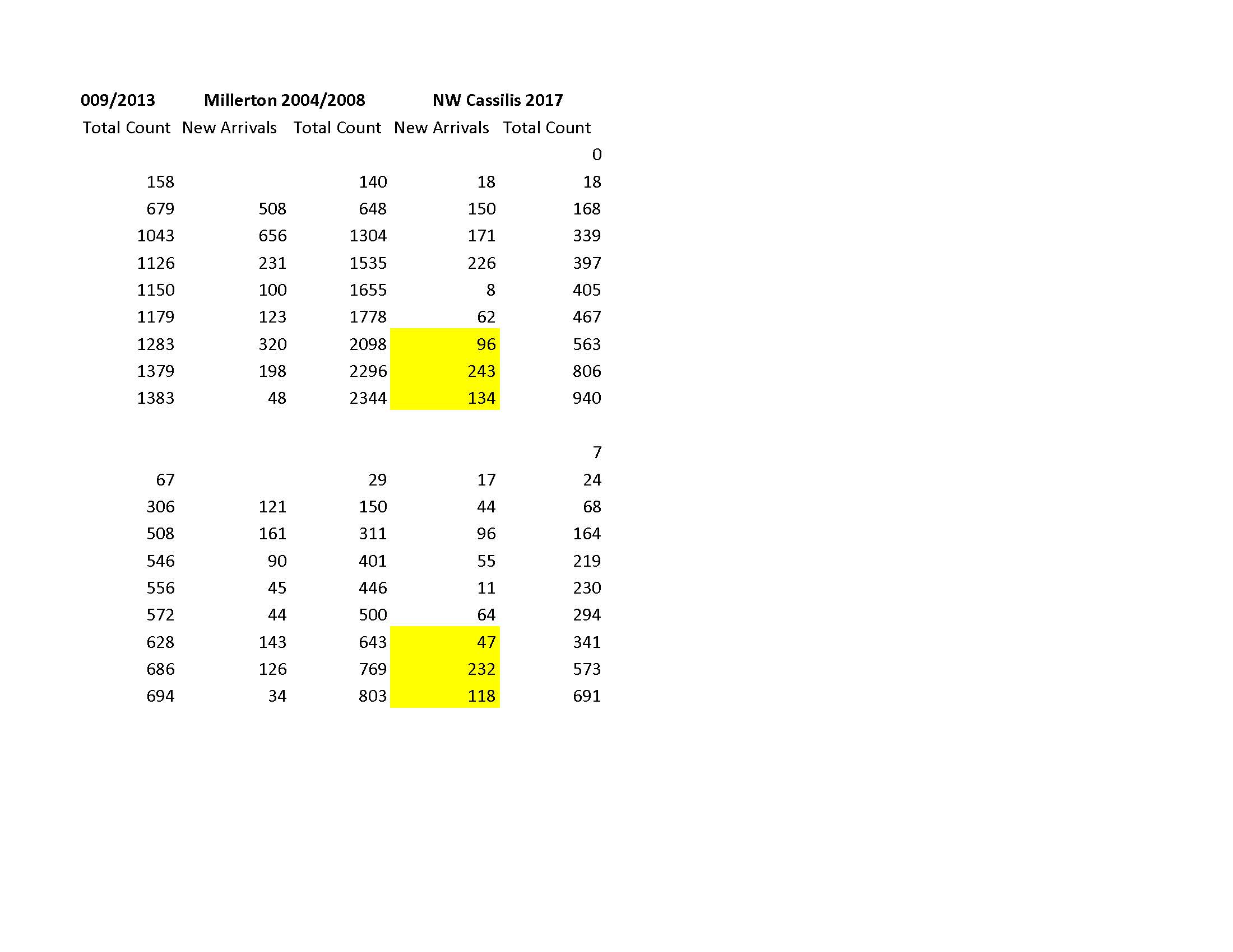
The story on the NW is essentially the same – only better. What I mean is that while the percentage of fish entering the river during the fall run was very high, similar to the Main Southwest Miramichi, the total numbers of salmon and grilse appearing in the Cassilis trap net were actually better than in most recent years and within 10% of the best years dating back to 2003.
The Final Analysis
Using historic, long-term averages of the efficiency of the Millerton and Cassillis trap nets which at Millerton are 5% for salmon and 9% for grilse, and at Cassilis are 9% for salmon and 10% for grilse, The Main Southwest Miramichi run for 2017 would have a season total of 11,820 salmon and 10,977 grilse. The North West Branch would have 7,670 salmon and 9,400 grilse. The grand total for the Miramichi system would therefore be 19,490 salmon and 20,377 grilse, or 39,867 salmon and grilse combined. Bear in mind that this is a back of the envelope calculation based on rough averages, and the official government calculation for 2017 could end up quite different. This is down 40% from some of the best recent years, though mostly because of grilse. But in the world of Atlantic salmon this is still one helluva number, and if the situation on the high seas ever turns around – and why can’t it – we could quickly be back up over 75,000 or even 100,000 returning fish. All of the Gaspe Rivers: Restigouche, Matapedia, Matane, Cascapedia, Pettite Cascapedia, Bonaventure, York, Malbie, Saint Jean, and some I forget but don’t mean to disrespect, don’t have a collective run that equals the Miramichi’s 40,000 salmon and grilse. The Miramichi is certainly still very much the queen of North American mainland Atlantic salmon rivers.
Quest for Portage Rock
Most New Brunswick naturalists will be familiar with William Francis Ganong whose scientific and natural history accomplishments are worthy of the several books written about him. Were it not for Ganong a lot less would be known about the Indian history within the Province, and the portage route from the Cains down to the Gasperaux might well have been completely forgotten by now. In fact the exact location that the portage path left the Cains will never be known, Ganong only found what he felt was a close proximity to where it left the river. If you google up Cains River Portage you will find the text of the Natural History Society of New Brunswick Bulletin No. XXVI Vol. VI Part I. Pages 210 through 216 are devoted to a discussion of Ganong’s more or less successful quest to find the path and a map of its whereabouts.
Ganong undertook this work in the summer of 1909. By that time the portage was about 70 years out of service and the trail was completely grown over and obscured by timber harvesting etc. Ganong interviewed at least one person, though, who claimed in their lifetime to have seen Indians on the trail, and others who remembered when the trail was plainly visible. The large rock that is called Portage Rock was photographed in November of 2012 by Nicholas Guitard in his recent book The Lost Wilderness which is devoted to describing Ganong’s life of field work in New Brunswick. I have seen no other photographs and no historical photographs.
Ganong’s hand drawn map was quite detailed. He was known for a lot of amateur cartography, and in fact he drew maps of many remote areas of the Province that are very historically important. Using a modern internet tool call Geo New Brunswick – this is free, just google it up – I took all of the information in the Historical Society Bulletin and tried to find the location of the rock using both the topographical map and aerial photographing feature. I found what I felt were two candidates, and based on everything set out to visit what looked to me to be the most likely one.
Shinnickburn to Doaktown Rd. headed for Portage Rock
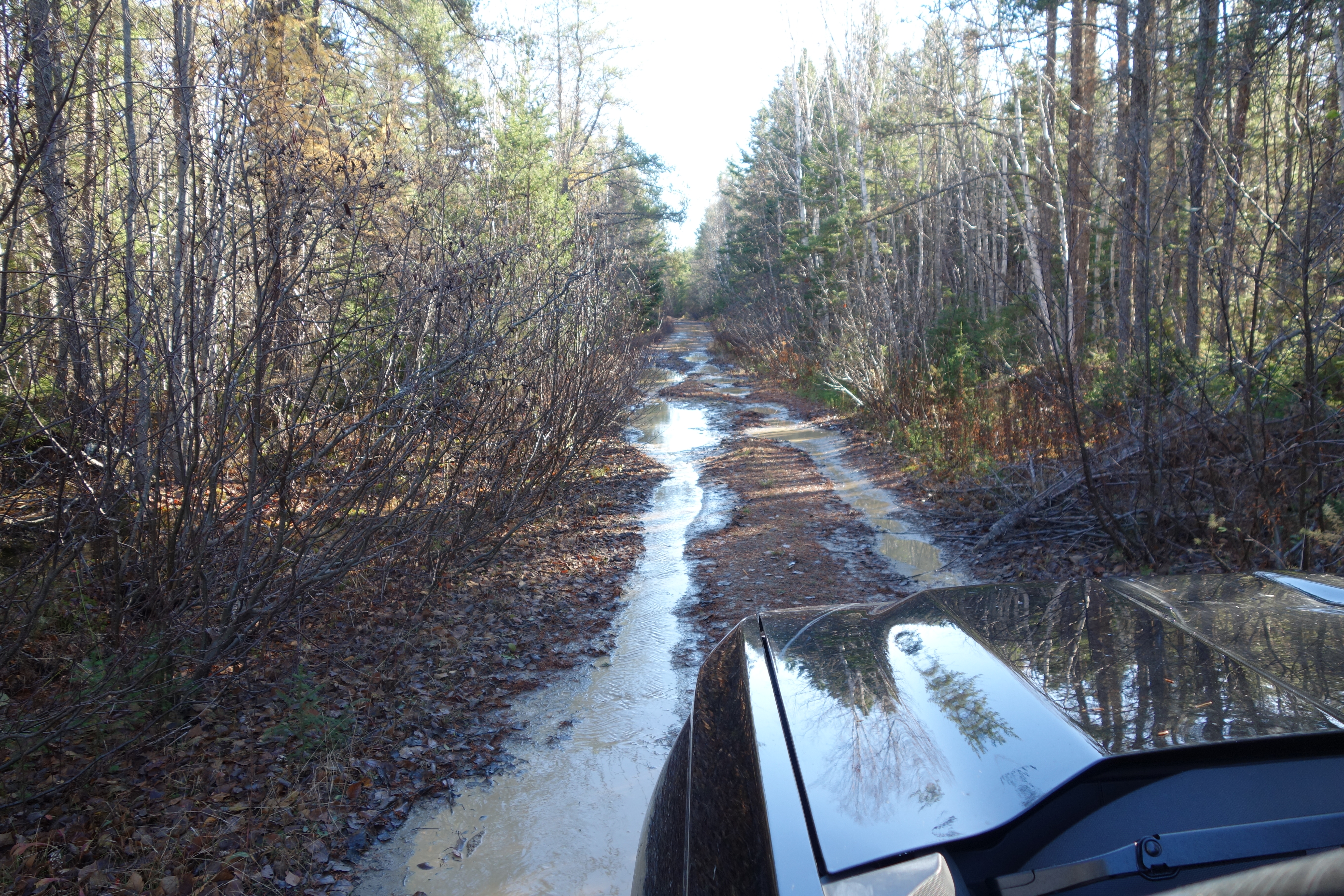
The location I visited was only 4 miles from my Mahoney Brook camp as the crow flies, but it required driving on the Shinnickburn Road towards Doaktown the day after a heavy rain. The road is so heavily rutted and overgrown in parts as to be barely passable – but it is passable. I then went down a series of logging roads that got me close to the assumed location of the rock. From there I could see on the GPS that I was only a quarter mile or so from the river. At both of the candidate locations I saw on Geo NB that a ledge or small cliff led down to the water.
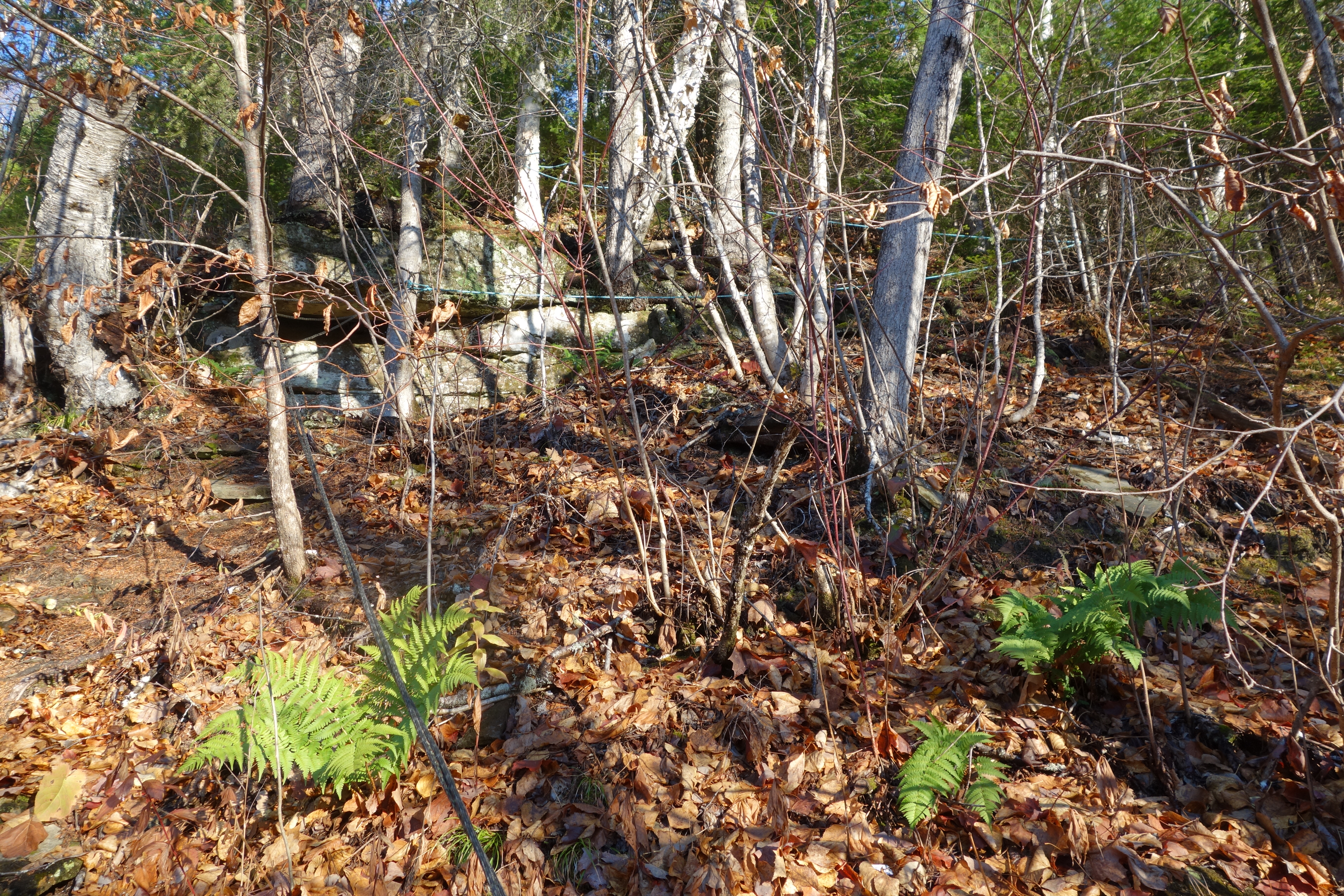
Rope trail up the low cliff at the hoped for Portage Rock location
It was really steep. But to remind me of how well known this back country area is to hunters and fishermen, someone had gone to considerable trouble to tie a rope back and forth through the trees to allow one to safely work their way down to the spring flood plain of the river. As I emerged from the head-high grass I could see a couple of hundred feet down river a large boulder on the shore that I hoped might be the rock. It certainly was conspicuous and presented a large, flat side that made it very visible to someone coming up the river. It turns out, though, that it was one of several rocks, some as much as 15 feet long that lay about the shore at the foot of the cliff – Portage Rock is supposed to be a more or less solitary stone.
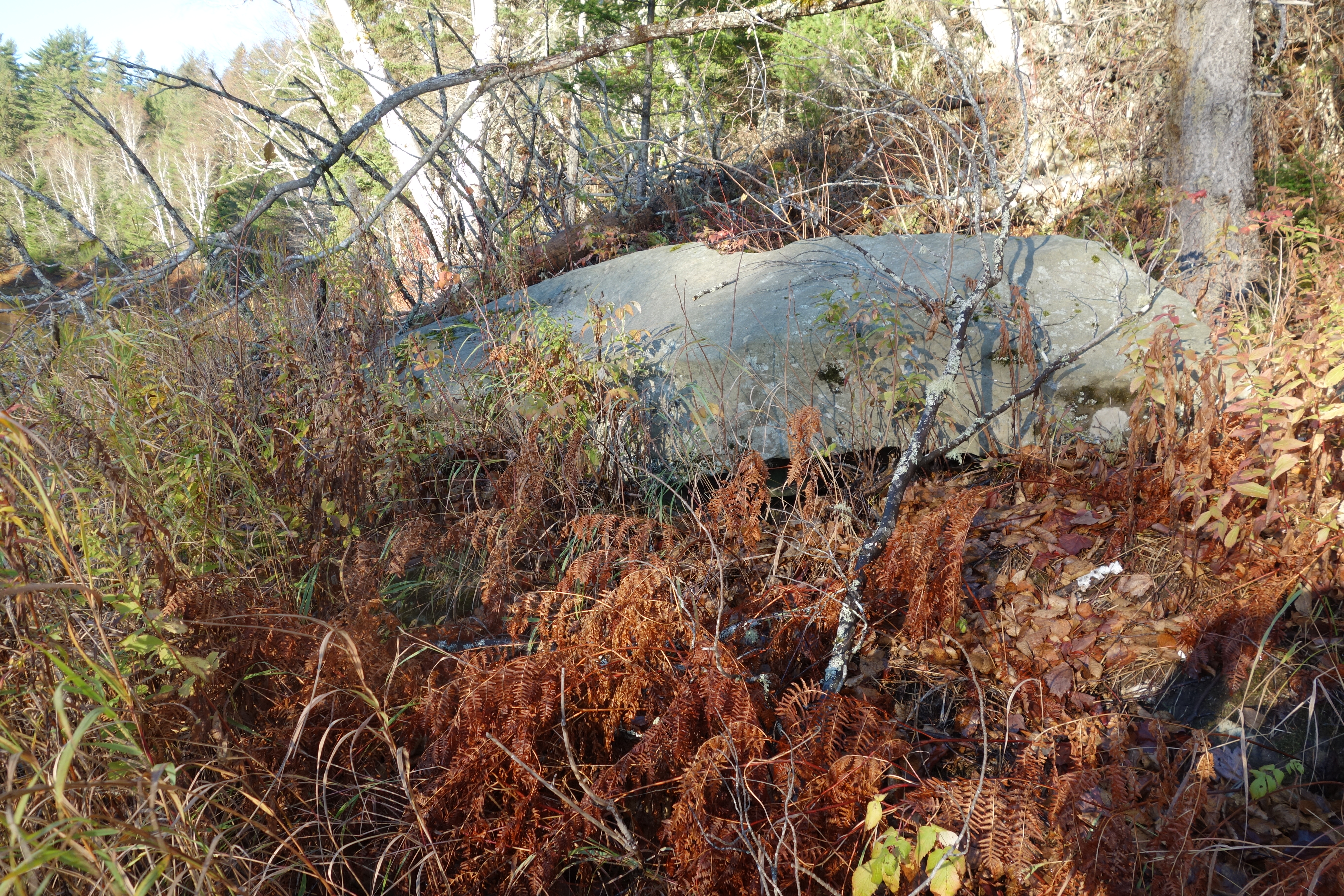
What I hoped was Portage Rock
I could not see this formation from across the river – where Guitard’s photo was obviously taken – to see if one of the rocks matched Guitard’s 2012 photo, but with all the information in I realized the two places were probably not the same. Guitard’s rock is pictured almost alone and not among a cluster as mine are. I’m now quite certain that his rock is located .9 miles further downstream at my second best guess. I didn’t pick that location as my first choice because aspects of the river bank and even an island in the river are not mentioned by Ganong nor do they appear in his drawing. On the other hand that was 110 years ago, and all those spring ice-outs could have changed a lot of things. Anyway, I was close, and the bonus for me was that I also discovered another good-looking salmon pool! I have boated by this stretch several times before when headed up to Trout Hole in our jet canoe, and it is another piece of the puzzle as to the locations of old fishing pools written up in what little exists for Cains River salmon fishing literature. I’ll be looking forward all winter long to running up there next spring to view these spots from the river.
Shadows lengthen as my last evening on the Cains River for 2017 approaches.
Brad, Great wrap up of the salmon season. I always enjoy seeing the Cains River wildness, something very special. I enjoyed seeing you in September, to bad the contains were so poor.
Karen and I fished for 2 days on the OP last week, after the heavy rains the river cleared up on the 3rd day, we caught 8 silver salmon on the Bogichiel River. The following day we floated the Hot River, scenery was beautiful, no fish. Karen’s fish was chrome bright, a 14 pound male.
Kal Kotkas
Great to hear from you Kal, and of Karen’s large silver. I sure wish our season lasted longer here on the East Coast.
Thanks Brad. Always a joy to see the Cains fall pictures.
The trail may be visible still as a slight indent in the ground. My fathers ancestors hunted the same piece of ground in franklin from 1780 to present and the old trails, though unused for 80 years or more are still discernible by the depression or rut where they walked. It is actually easier to find this at night with a flashlight.
I would be glad to help if I can in locating this sometime. Thanks. Kevin
Kevin – I was going to call you before this trip because you had expressed an interest before, but I got the urge and left on short notice. The southern end – coming off the Gasperaux has been clearly identified and marked. I think from everything I’ve read that we could get fairly close to the Cains River end, but Ganong was practiced at this and couldn’t find it over 100 years ago, so I’m not sure how we’d due. I’d be game for trying though. The spot is about 4 miles – as the crow flies – upriver from your camp.
Thanks, that sounds encouraging, we need that…..poorest year I ever had for catching, but the fishing was great as always….looking forward to hearing from you in the spring with more encouragement…time to drag out the hooks and feathers…take care Mac
Oh well, as you say, the fishing was great. I did some tying this fall, and frankly I can’t think of anything I need. The last flies I tied were for that ultra low water we had this year, and they were incredibly thin Sneakies and Ally’s Shrimps. I would imagine with your years in the game that you have quite an inventory of every conceivable salmon fly pattern…
Great report Brad. Hopefully see you and George in March.
Pat – I’m just waiting for the tenancy agreements to arrive later in the month. Can’t wait to sign them. Maybe add three days on the Thurso at the end too. Brad
Brad, Nice way to close out a season with hope for the coming years. What is your take on how New Brunswick/Canada’s future management on Striped Bass/Salmon management will develop? Do you feel they are addressing this in a timely manner? The marked increase in my fishing log of striped bass catches has me concerned………Thanks………..
Good to hear from you Bill. I’m not a Canadian, and I have no good insight – just what I hear – into how DFO will do things. Like you I know everyone wants DFO to relax striper regs including allowing a First Nation’s commercial harvest and unrestricted bag and size limits above the head of time. That would certainly bring down the numbers, and I’d be happy to see it, but I don’t know if DFO will see it that way or not. I do know from a lifetime of involvement that striped bass populations can be very cyclical. I’m still hoping that we are on the crest of a wave that will go the other way. It is true that Atlantic salmon and striped bass have co-existed in the Miramichi for a very long time including years of great salmon abundance.
With the exception eating some parr during the summer and smolts on their way out the stripers and salmon have little effect on each other. It is very interesting that the NW Miramichi where the biggest issue appears to be with stripers eating smolts, has had 4 or 5 up years in a row on salmon, and the run seems to be overall improving, at least by the statistics. Exactly what the true effects of the stripers are is a bit unclear to me.
Brad,
Wondering if you could include me in the distribution of your newsletter.
Josh – done…and thanks. For anyone else interested in the same thing there is a subscribe here button on the home page of my website.